GIS Application to Support Land Administration Services and software development in Ghana
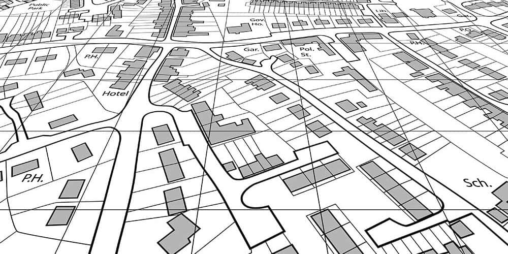
Richmond Hinneh2019-02-14T16:00:56+00:00In Ghana, as in other parts of the world, land is a unique resource of fixed location, unable to expand in the supply (except in cases where marginal increases have done through recovery). The need for efficient and effective management of this limited resource is of the utmost importance. Both lands Administration and management involves land registration and has been recognized that improvements to land registration systems and land establishment Information Systems (LIS) or Geographic Information Systems (GIS) are important Catalysts for development in less developed countries. This position is recognized by the Global Housing Strategy for the Year 2000 (UNCHS, [...]


