All you need to know about soil-transmitted Helminth
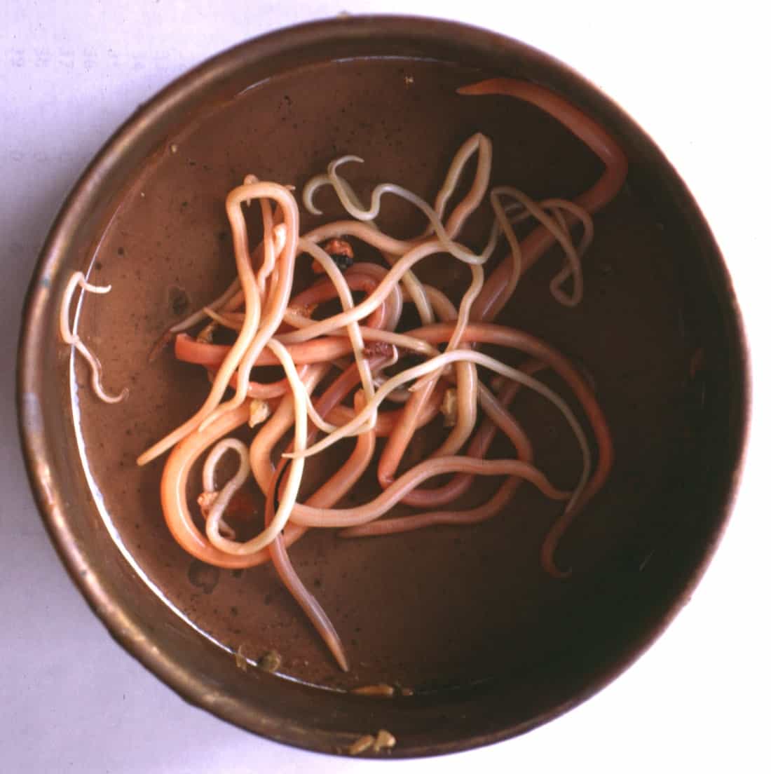
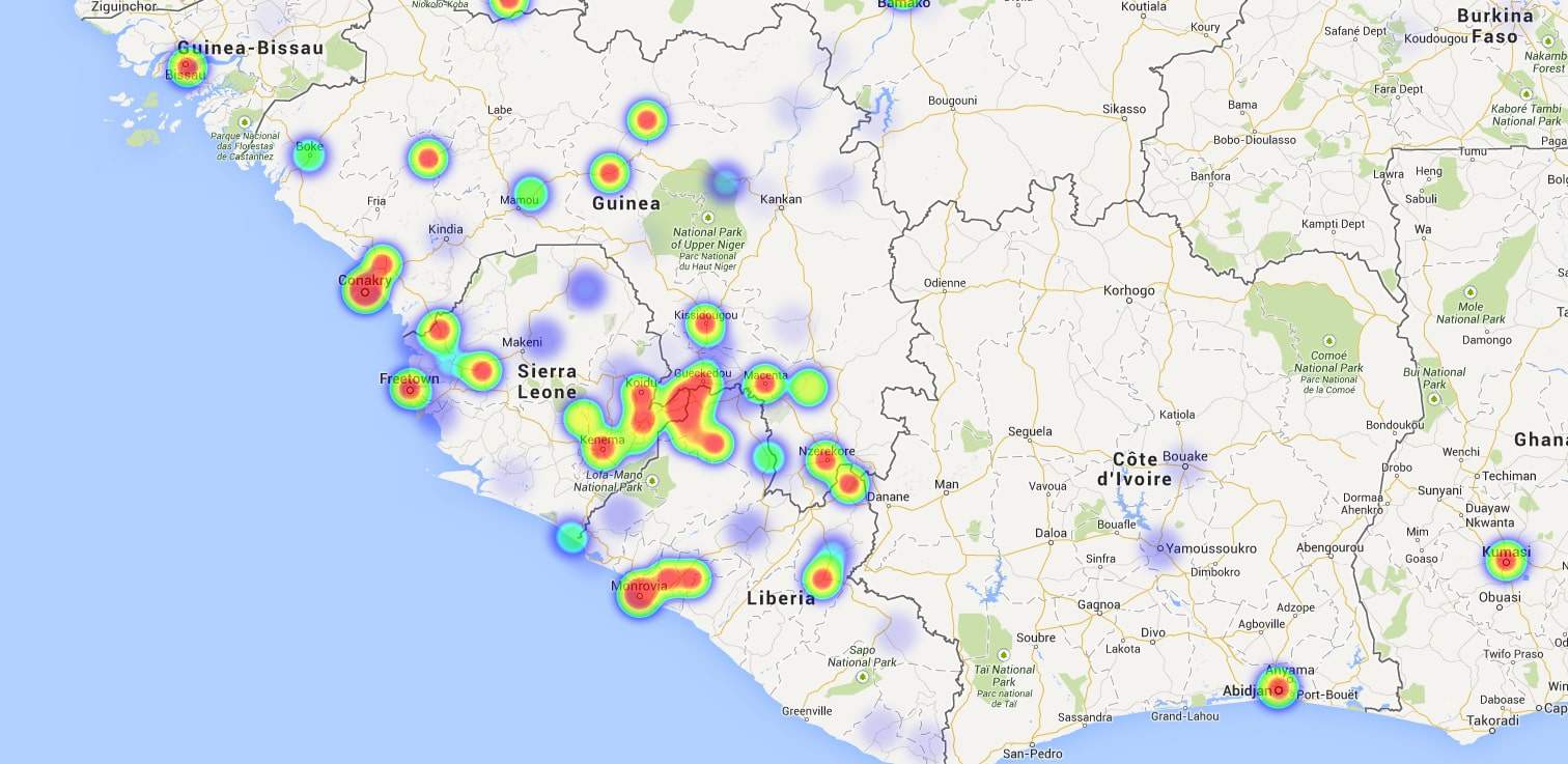
Richmond Hinneh2019-11-05T08:48:12+00:00Soil-transmitted helminth infections are among the most common infections worldwide and affect the poorest and most deprived communities. They are transmitted by eggs present in human faeces which in turn contaminate soil in areas where sanitation is poor. The main species that infect people are the roundworm (Ascaris lumbricoides), the whipworm (Trichuris trichiura) and hookworms (Necator americanus and Ancylostoma duodenale). (https://www.who.int/) Global distribution and prevalence More than 1.5 billion people, or 24% of the world’s population, are infected with soil-transmitted helminth infections worldwide. Infections are widely distributed in tropical and subtropical areas, with the greatest numbers occurring in sub-Saharan Africa, the [...]


